


 O'Fallon, MO 63366
Maps
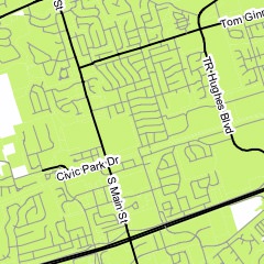 These O'Fallon maps are provided by the Planning and Development Department. Please call 636-240-2000 for more information.
- Right-of-Way Boundary and Publicly Maintained Property Map
- O'Fallon Business Map and Directory
- Interactive Zoning Map
- City Limits map (PDF)
- Educational Facilities map (PDF)
- Emergency Services map (PDF)
- Wards map (PDF)
- Sewer District map (PDF)
- Water District map (PDF)
- Zoning map (PDF)
- Local Finance Initiative Districts (TDDs, CIDs and TIFs) map (PDF)